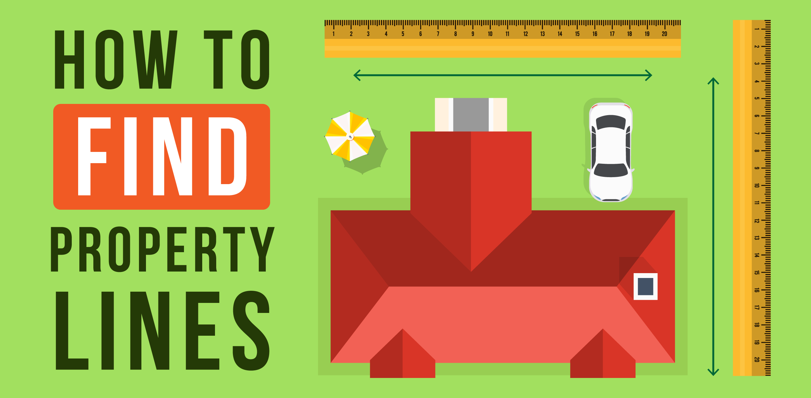
How to Find Property Lines
Do you know how to find your property lines? Learn reliable methods to locate your property lines, from checking deed documents to using online resources and hiring professionals.
Understanding where your property begins and ends is essential knowledge for any homeowner. Whether planning to build a fence, plant trees, install a pool, or resolve a boundary dispute, knowing exactly where your property lines are located can save you time, money, and potential legal headaches.
Many online resources, including Google Maps, are a great place to start. If you have property markers set up, they are another great way to determine your Raleigh home property lines.
With New Construction Homes, the builder will likely provide a surveyor to accompany the sale to help you understand precisely where the property lines are.
As Raleigh continues to grow and properties change hands, the importance of clearly defined boundaries has never been greater. In this guide, we'll walk you through several reliable methods to determine your property lines.
The best ways to find your property lines
1. Review the Property Survey
A property survey is a detailed map of your land drawn by a professional surveyor. To find it:
- Check your closing documents
- Contact the previous owner
- Search the Wake County Register of Deeds
- Reach out to the surveying company if you know who performed the original survey
Our Realtors in Raleigh can help you find a great surveyor if you need to find the property markers for a fence. Plats can be hard copies or may be found online. For those unable to access their plat, it might also be helpful to review maps of neighboring properties to see if the property lines are displayed.
2. Check the Deed
Your deed contains a legal description of your property boundaries. However, the description may reference aspects of your property that may have changed, such as a group of trees. The deed may also be found online.
If you live in a neighborhood where many homes were most likely built during the same time, such as a subdivision, the deed's description may be extremely vague. If that is the case, property line details may be in a 'master plan,' typically found in public records.
A deed will also provide insight into property owners who have purchased or sold off portions of their yards over the years. If you do not have your deed, you can typically obtain one at the register of deeds office, which is often located at the local county courthouse.
3. Visit the Zoning Department
Your local zoning department should have a record of your home's plat, which is a map showing how the land in your neighborhood is divided.
It may be challenging to find plats for older homes, but newer homes less than 100 years old will most likely have a copy in the local zoning office.
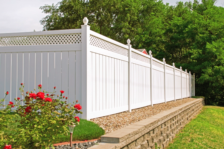
4. Check For Visual Clues
While not a formal indicator of exactly where your property lines are located, one way to begin finding your property line is to examine the sidewalk, streetlights, and other visual clues surrounding your property.
Contractors may have specifically built the sidewalk to align with the property lines, starting at one home's plot and ending at the neighboring home. Streetlights are often placed on property lines as well.
This method may work if you want a general idea of your property line, but it should not be used if you plan on installing a pool, a new driveway, or an addition to your home.
When doing significant work on your property, you must learn exactly where the property lines are so you don't risk building something on your neighbor's property.
.png)
5. Find Hidden Survey Pins
Survey pins are thin iron bars in the ground used to designate property lines. They are typically capped with plastic and about two or three feet long. The original survey crew inserts the survey pins along the property's perimeter when determining property lines. If you have a metal detector, the pins are typically buried close to the sidewalk or curb of the property.
Unfortunately, survey pins are not always entirely accurate, as they may have been moved over the years by utility workers, tree-removal companies, etc. It is important to note that your property line does not change, even if the survey pins are moved.
Several survey pins are typically located throughout the property, so even if a few pins have been moved, it is still possible to determine the size of your property based on the other pins.
If you suspect several pins may have moved over the years or if you are unsure how accurate the pins are, it is advised to follow the steps above, such as checking the deed or meeting with your local zoning department.
If you plan on digging up the property markers, you mustn't hit any buried wires or irrigation systems, as you may be responsible for paying for the repairs if you do.
Before digging, dial 811, the universal number in the United States that provides buried utility information. That will give you the information necessary to ensure there isn't anything on your property you may hit.
6. Hire a Professional Surveyor
Hiring a professional surveyor is the best option for the most accurate and legally defensible property line determination.
A professional land surveyor will:
- Research existing records and deeds
- Locate existing markers or set new ones
- Take precise measurements using specialized equipment
- Create a certified survey document
- Provide a physical copy and digital version of your survey
- Mark corners with permanent monuments
A residential survey typically costs between $800 and $5,500, depending on your lot size, terrain, and complexity.
To find a reputable surveyor:
- Ask for recommendations from your real estate agent or Raleigh Realty
- Check the North Carolina Board of Examiners for Engineers and Surveyors at ncbels.org for licensed professionals
- Read online reviews and request references
- Get multiple quotes before deciding
Before hiring a professional surveyor, please ensure the surveyor is licensed in your state. They should also hold professional liability insurance, covering you if the surveyor makes a mistake when surveying the property and goes over property lines.
Also, ask them what equipment they use when completing the survey, such as a GPS or CAD. Surveys completed with a GPS or CAD are far more accurate and precise.
Hiring a professional surveyor is the only legally binding method to determine where the property lines fall. If you plan on building an addition to your home, you must complete a professional survey.
A professional survey can be costly, ranging from several hundred to thousands of dollars, depending on the property size. However, making significant changes to your home is well worth it to ensure you do not go over your neighbor's property line.
Some homes are built on smaller plots with only a few trees, meaning surveys can be completed in as little as 30 minutes or an hour. We have homes in Cary that would take a surveyor 30-60 minutes to survey.
It could take several hours if the plot is much larger and more complex, with several trees, wooded areas, and fences. The larger or more complicated the home, the longer it will take.

7. Use a GPS
Purchase and upload GPS mapping software, such as Global Mapper, to your GPS device. GPS mapping software can cost from free trials up to $400 or $500 for the full version.
Obtain a plat map, legal survey review, mortgage map, or legal land map from your county clerk's office or mortgage servicing provider.
Review the legal survey document to determine the "basis of bearing," which should be explained in the document. Set your GPS mapping to the appropriate reference point described in the survey document to get the most accurate reading (such as "geodetic North," "magnetic North," etc.)
You can enter the coordinates of one of your property's corners. Depending on the GPS mapping program, you may be able to enter multiple coordinates or will have to upload each coordinate separately.
Go to the first point logged into the mapping program and select "go-to" or a similar option on the device.
When you reach the property corner, place a boundary marker in the ground. If you cannot upload all coordinates into one route, load the next point of the boundary from your GPS, select "go to" or the appropriate option, and move to the next waypoint.
Place a boundary marker in the ground and repeat this process until all corners of the property's boundaries have been marked.
If you are moving to Raleigh, Wake County offers excellent digital resources for property research, including access to Wake County iMaps and Raleigh Development Services.
Methodology
Data was sourced in May 2025 from Angi and the Bureau of Land Management to determine the best ways to find property lines.
FAQs
How do I see property lines on Google Maps?
Google Maps will display property lines if you type your address into the 'Search Google Maps' search bar and zoom into the property closely enough. Unfortunately, property lines are not available at all locations on Google Maps.
Check your local county's website if you are trying to find property lines for an area that does not display the information you need in Google Maps. State or provincial government agencies, city governments, and county governments may provide that information for free.
Is there an app that shows property lines?
In addition to Google Maps, several GPS apps provide property line information. Again, nothing is more accurate than a professional surveyor, but a GPS app may be a helpful guide when getting a clearer idea of where your property begins and ends.
The LandGlide app uses GPS technology to pinpoint your property's location. It also includes parcel records in counties nationwide, covering more than 95 percent of the United States.
Regrid allows users to view property data for parcels throughout the country. It also has a survey editor that allows you to create your own. Regrid has several preloaded surveys, which can be accessed with a paid subscription.
Why do property Lines Matter?
- Preventing disputes: Clear boundaries help avoid conflicts with neighbors over land usage.
- Planning improvements: Staying within your boundaries is crucial when adding structures or landscaping.
- Understanding restrictions: Property lines often come with easements or setback requirements that limit what you can do in certain areas.
- Accurate property taxes: Your tax assessment is based on your property's dimensions.
- Resale value: Well-documented boundaries make your property attractive to potential buyers.
How do I read a metes and bounds survey?
A metes and bounds survey, which may be in your property's deed, describes the distance between one established property point and the next. The downside is that it can be tough to comprehend, as metes and bounds surveying is a centuries-old method of surveying land dating back to 1785.
Although metes and bounds surveys have a long history, they are still used in some homes in South Carolina, North Carolina, Pennsylvania, New York, New Jersey, Maryland, Virginia, Delaware, Kentucky, Texas, Tennessee, Georgia, and New England.
"Metes and bounds" land means that there is a known landmark that begins the property, known as a "place of beginning" or "POB." Using a compass, you can then follow the directions that it provides. Unfortunately, due to the lengthy history of metes and bounds surveys, several landmarks described in the study – such as creeks, trees, etc. – have most likely changed, which makes following this survey somewhat confusing. Because metes and bound surveys are so old, they may also have older language, such as "southerly," "thence," etc.
To read the metes and bounds survey, you can just look for the starting point, which is typically located at one of the corners of your property. The survey will then provide detailed instructions on how to find the remaining corners and boundary lines of the property. A directional compass and measuring tape will be needed to follow the metes and bounds survey.
Are property surveys public records?
Property surveys are only public records in certain states, whereas they are not available publicly in others. On the other hand, Plat maps are typically public records and can usually be found at your local public records office. To determine whether your state makes property surveys publicly available, you can also contact your local public records office.
Key Takeaways on How to Find Property Lines
Understanding your property boundaries is a fundamental aspect of homeownership in Raleigh. While online resources and DIY methods can give you a general idea of where your property lines are, nothing replaces the certainty of a professional survey.
At Raleigh Realty, we recommend homeowners invest in understanding their property boundaries before making significant improvements or when questions arise.
If you're in the market for a new home or looking to sell your current property, our experienced agents are here to help.