New - 1 Hour Ago

Are you a Raleigh resident wanting to learn about your area's zoning laws? Here is everything that you should know about Raleigh's zoning laws.
If you are considering making Raleigh your home, understanding the city's zoning laws is one of the most important steps in your homebuying journey. Zoning plays a crucial role in managing city growth, and it is important to know how it works as a resident.
While zoning regulations might seem like dry legal jargon at first glance, they actually tell a fascinating story about how this vibrant North Carolina city plans for growth, protects neighborhoods, and shapes the communities where people live, work, and play.
Raleigh has earned its reputation as one of the fastest-growing cities in the country, attracting new residents with its thriving economy, world-class education opportunities, and exceptional quality of life. As the city continues to evolve, its zoning laws serve as the blueprint for managing this growth thoughtfully and sustainably.
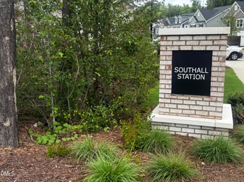
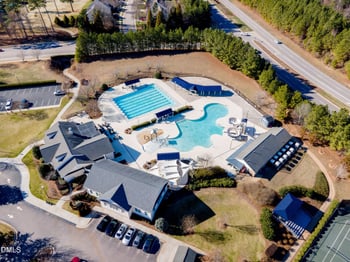
Raleigh's Planning and Development Department maintains official zoning maps, which indicate the zoning designations for every parcel of land in the city. Understanding these regulations is important for commercial real estate developers, investors, and property owners in Raleigh, as they are critical to the success of their projects and investments.
Whether you are a first-time homebuyer searching for the perfect neighborhood, an investor looking to understand property potential, or someone simply wanting to know what can be built next door to your future home, this comprehensive guide will break down Raleigh's zoning regulations and help you make informed decisions.
At its core, zoning is a planning tool that cities use to organize land use in a logical, orderly way. Zoning involves partitioning a city into zones reserved for different purposes, like residence or business, and it's intended to promote an orderly pattern of development.
Zoning regulates the use of land, building size, height, and setbacks, and is intended to promote an orderly pattern of development and to separate land uses that are incompatible, such as industrial uses and homes.
Without zoning, you might find a factory built next to a quiet residential street, or a nightclub opening beside an elementary school. Zoning prevents these conflicts and helps maintain property values by ensuring neighborhood consistency.
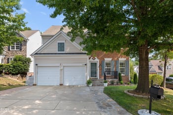
For homebuyers, understanding zoning means knowing not just what your potential property can be used for today, but also what could be built on neighboring parcels in the future. This knowledge is crucial for protecting your investment and ensuring the neighborhood aligns with your long-term expectations.

Raleigh's approach to zoning is comprehensive and forward-thinking, designed to support the city's vision of sustainable, transit-oriented growth while preserving the character of established neighborhoods.
The city's Planning and Development Department maintains the official zoning map, which assigns a specific zoning designation to every single parcel of land within city limits.
Understanding zoning in Raleigh is crucial for anyone looking to develop or use land for investment purposes within the city's jurisdiction since it ensures all land use is property-regulated and aligned with the city's planning objectives.
Raleigh organizes its land into various zoning districts to manage land use and development, each with specific regulations and purposes. The city uses three types of base zoning districts: residential districts, mixed-use districts, and special districts.
Every property in Raleigh falls into one of these categories, and each comes with its own set of rules and possibilities.
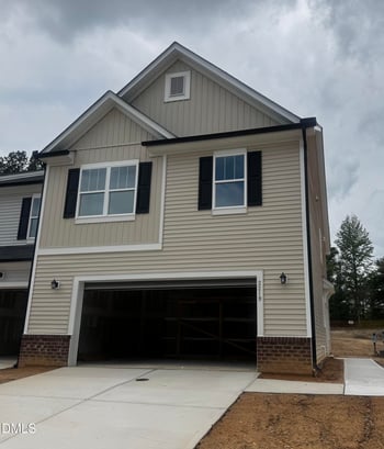
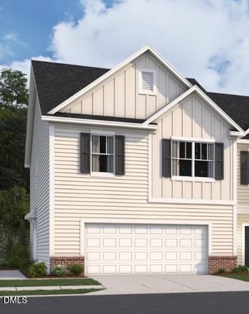
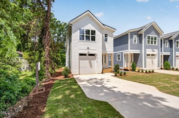
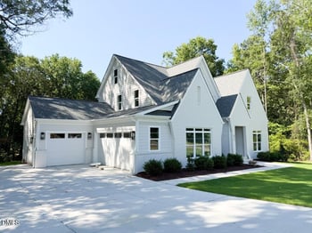
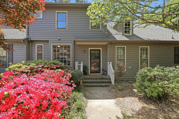
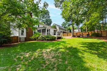
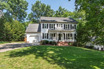
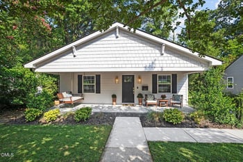
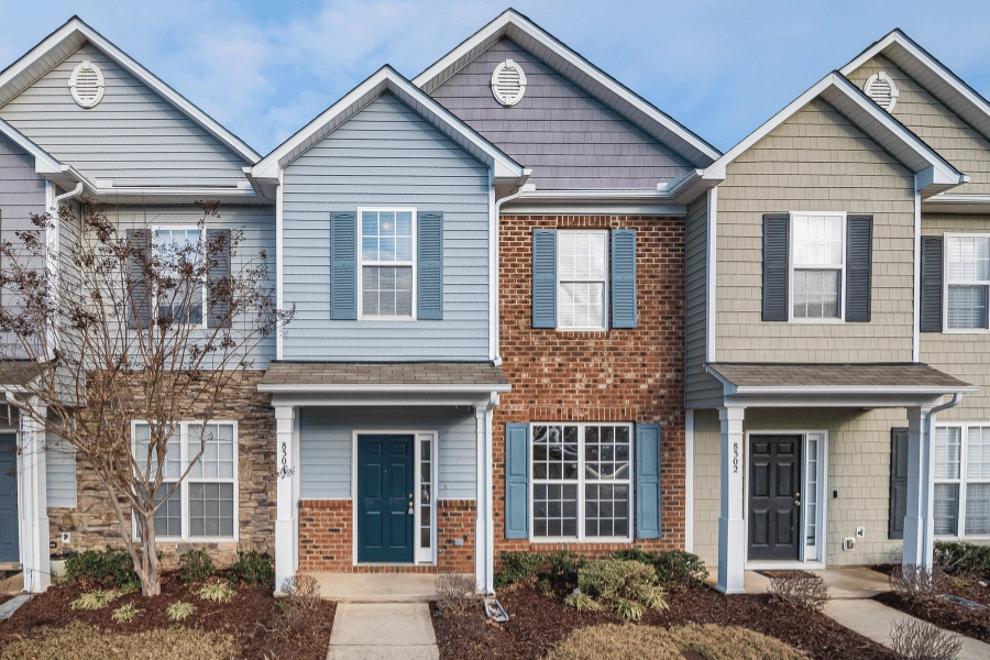
Raleigh's residential zoning districts are designed to regulate the diversity of residential developments. They include zones for single-family homes, duplexes, apartments, and townhomes.
The Residential District intends to protect established residential neighborhoods as well as promote planned and efficient future residential developments. These districts allow not just residential uses but also civic uses like schools, churches, and community centers, which are essential to neighborhood life.
Raleigh has five residential zoning districts that accommodate different housing densities and styles:
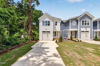
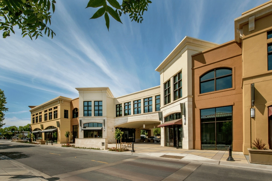
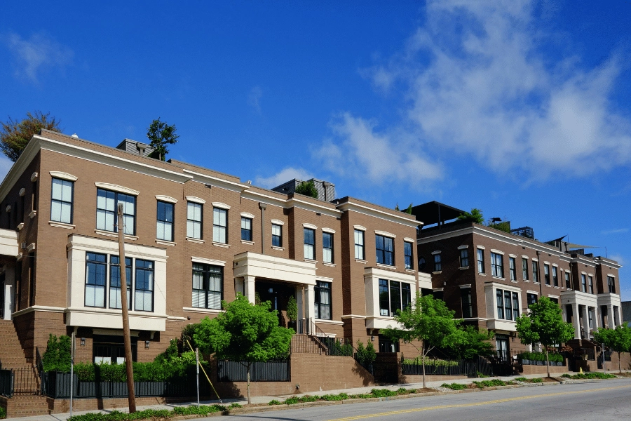
Mixed-use districts offer greater flexibility in use and density while still allowing for appropriate transitions between residential, commercial, and industrial areas.
These districts reflect Raleigh's commitment to creating vibrant, walkable neighborhoods where people can live close to work, shopping, and entertainment.
Raleigh has seven mixed-use districts, each designed for different intensities of development:
In addition to residential and mixed-use districts, Raleigh has a set of special districts for areas and uses that require customized regulation. These six special districts include:
Overlay districts add an extra set of regulations related to an environmental, cultural, or infrastructure feature that may extend across numerous parcels and various base districts.
These additional layers of regulation address special concerns like historic preservation, airport noise zones, watershed protection, and transit corridors. More than one overlay district can apply to the same property, adding additional requirements on top of the base zoning.
Understanding zoning provides several important advantages for homebuyers:
Areas with zoning regulations often boast higher property prices due to limited development opportunities maintaining the area's visual appeal and exclusivity. Zoning creates predictability, which buyers value when making long-term investments.
Zoning ensures that the neighborhood you fall in love with today will maintain its essential character over time. Strict residential zoning prevents commercial or industrial encroachment into established neighborhoods.
By checking the zoning of surrounding parcels, you can anticipate what might be built nearby. This helps you avoid unwelcome surprises like a tall apartment building blocking your view or a busy commercial center increasing traffic on your street.
Understanding zoning can help you identify properties with development potential or rezoning possibilities that could increase in value over time.
Knowing what activities are allowed on a property helps you determine if it truly fits your needs. Want a home office? Room for a backyard studio? The zoning designation will tell you what's possible.
Raleigh has a detailed zoning map that outlines specific land uses for each area, which helps promote an orderly development pattern throughout the city. This map is your window into understanding how land can be used throughout the city.
The easiest way to determine a property's zoning is through the city's "Find My Zoning" online tool, accessible through the city's iMAPS system. Simply enter an address, and you'll see the base zoning district and any overlay districts that apply to the property.
This interactive mapping tool provides real-time, accurate zoning information for any property within city limits. Developers and residents must refer to the map to fully understand the regulations that affect their property.
Certain categories classify land uses and activities based on common functional, product, or physical characteristics. These categories include:
Each zoning district specifies which use categories are permitted, which require special approval, and which are prohibited entirely. This systematic approach ensures that land uses are appropriate for their surroundings and compatible with the city's comprehensive plan.
The Unified Development Ordinance, or UDO, contains most local regulations concerning the use and development of land and buildings, including zoning, subdivision, stormwater, and natural resource conservation.
Adopted in 2013 and fully implemented by 2016, the UDO represents a comprehensive overhaul of Raleigh's development regulations. This vital document encompasses a wide range of regulations governing land use, building construction, zoning, subdivision, stormwater, and natural resource conservation.
Raleigh consistently updates the UDO to incorporate changes and enhancements, with the most recent update taking place in 2024. This proactive approach shows the city's dedication to keeping up with the community's evolving needs.
The document consolidates what were previously scattered regulations into a single, user-friendly code organized into clear chapters. The UDO has been designed with improved navigation, real-time updates, mobile accessibility, and enhanced search functions.
One of the innovative aspects of Raleigh's UDO is its use of form-based zoning principles, particularly in mixed-use districts. Rather than focusing solely on separating land uses, form-based zoning emphasizes how buildings relate to streets and public spaces.
Beyond basic zoning designations, Raleigh's UDO includes detailed development standards that govern the physical characteristics of buildings and sites.
Setbacks determine how far buildings must be positioned from property lines, streets, and other structures. These requirements vary by zoning district and ensure adequate space for landscaping, sidewalks, emergency access, and privacy between properties.
In residential areas, front yard setbacks typically range from 10 to 30 feet, while side and rear setbacks depend on the specific district and building type.
Each zoning district specifies maximum building heights, typically measured both in stories and feet. Traditional residential districts generally cap heights at three stories or 40 feet, while mixed-use and downtown districts allow much taller buildings to create urban intensity where appropriate.
Safety and accessibility are essential in Raleigh's development standards. Buildings must comply with the North Carolina State Building Code, which includes structural safety, fire exits, and electrical systems. These regulations prevent hazards and ensure the well-being of occupants.
Accessibility standards under the Americans with Disabilities Act (ADA) mandate features like ramps, wide doorways, and accessible parking. These features make buildings usable for all individuals, regardless of physical ability.
Raleigh's regulations also focus on emergency services access, ensuring that fire trucks and ambulances can reach every building efficiently. These standards are mandatory for all new developments, maintaining a safe and inclusive environment.

Rezoning is the act of modifying the Official Zoning Map. While most homebuyers will not need to pursue rezoning, understanding the process helps you anticipate potential changes in your neighborhood and participate meaningfully in local planning decisions.
Rezoning becomes necessary when someone wants to use property in a way that's not allowed under the current zoning. This might involve converting a residential property to commercial use, increasing development density, or changing the types of buildings allowed on a site.
Step 1: Pre-Application Conference
Before submitting a formal application, prospective applicants must meet with city planning staff. This free consultation helps applicants understand zoning conditions, potential impacts, and whether their proposal aligns with the city's Comprehensive Plan.
Step 2: First Neighborhood Meeting
Applicants must invite owners and tenants of all land within 500 feet of the rezoning site. This meeting initiates a conversation with those most directly affected by the proposed change. Notice must be mailed at least 10 days but no more than 25 days before the meeting.
Step 3: Application Submission
Once the pre-application conference and first neighborhood meeting are complete, applicants can submit their formal rezoning application through the city's Permit and Development Portal. The application includes detailed plans, property owner signatures, required fees, and documentation of neighborhood meetings.
Step 4: Staff Review
A submitted and accepted rezoning application is assigned a case planner as well as staff reviewers from various City departments such as Planning and Development, Engineering Services, Transportation, and Public Utilities.
Staff analyze the petition's consistency with the Comprehensive Plan and identify potential impacts. Review periods range from 10 to 24 business days, depending on the complexity of the case.
Step 5: Second Neighborhood Meeting (if required)
A second neighborhood meeting is required for properties with 5+ acres or those with proposed zoning of more than 5 stories. This meeting must occur at least 30 days after staff review completion and must invite property owners within 1,000 feet of the site.
Step 6: Planning Commission Review
Within 45 days of application completion, the City's planning commission will review the application with consideration to staff and public comments and make a recommendation to the City Council. The Planning Commission holds public meetings twice monthly where residents can attend and provide feedback.
Step 7: City Council Public Hearing
Within 60 days of receiving a recommendation from the planning commission, the City Council will schedule a public hearing. This is the community's opportunity to speak for or against the proposal. The Council can approve, deny, defer, or send the case to a committee for further consideration.
Step 8: Final Decision
After the public hearing, the City Council makes the final decision on the rezoning application. If approved, the changes are officially recorded on the zoning map, and the applicant can proceed with development plans.
Data was sourced from the City of Raleigh to understand zoning laws in Raleigh, NC.
What are the different types of zoning?
The different types of zoning are residential, mixed-use, and special districts. Each has its own divisions that help permit operations on the land use there.
What is R4 zoning in Raleigh?
R4 zoning can range from low density, such as single-family homes, which permit up to four units per acre of land, to R10 zoning, which means up to ten units per acre of land.
Do I need a permit to build a shed in Raleigh, NC?
If you want to build a shed, you will receive a zoning permit if the structure is under 12 feet in any direction, or a building permit if an accessory structure exceeds 12 feet in any direction.
.png")
For homebuyers, understanding zoning means understanding the very foundation of neighborhood character, property values, and future development possibilities. If you are moving to Raleigh, our team of local experts is ready to help you find the perfect property in the perfect neighborhood.
I own and operate Raleigh Realty, and I spend a lot of time helping people understand what life in Raleigh is actually like before they move here. This is my honest guide to living in Raleigh, NC, with the good parts, the annoying parts, and the details most relocation articles skip.Raleigh is the capital of North Carolina and one of the main anchors of the Research Triangle. The Raleigh-Cary met

Are you a North Carolina homeowner? Here is what you need to know about NC real estate laws. Whether you are preparing to purchase your first home in Raleigh or you have been a North Carolina homeowner for years, understanding the state's real estate laws can protect your investment and help you avoid costly disputes.The North Carolina Real Estate Commission governs ownership, transfers, and disp
Where are the best areas in Raleigh for investment properties? Here is all you need to know about properties in Raleigh and where to invest.Raleigh, NC, is an increasingly popular real estate market that has been experiencing significant growth. As a potential investor, you have the opportunity to benefit from this growth by purchasing single and multi-family homes in Raleigh, especially now with

Are you considering building a fence on your property? Here is what you should know about building a fence and everything that goes into it. Adding a fence to your yard offers numerous benefits for your home, including enhanced privacy, security, and safety. Installing a quality fence is an excellent way to increase your home's value and elevate your curb appeal without significant renovations.Po